
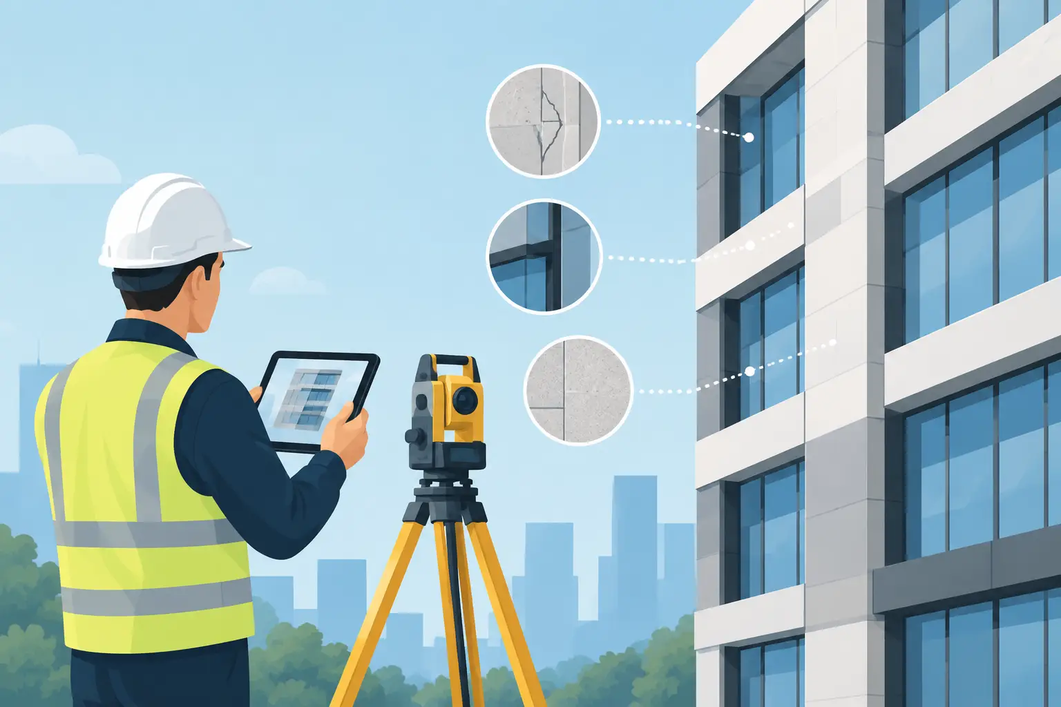
Facade Survey Methods for Dependable Design

A facade elevation drawn from outdated records can appear credible until new windows, structural alterations or heritage details are set out against it. At that point, small discrepancies become redesign, site queries and avoidable programme pressure. The right facade survey methods establish what is actually there: wall planes, openings, levels, materials, defects and the irregular geometry that standard drawings often miss.
For architects and consultants, the best method is rarely the one with the most impressive equipment list. It is the method that produces the required accuracy, access, coverage and output for the decisions ahead. A planning elevation, a conservation repair package and a coordinated Revit model all require different levels of information.
What a facade survey needs to achieve
A facade survey records the external condition and geometry of a building in a form that can be used for design, coordination or asset management. Depending on the brief, this may include measured elevations, window and door positions, parapet and roof-edge levels, decorative features, material changes, visible defects and photographic records.
The central question is not simply whether the facade has been measured. It is whether the resulting information is sufficiently dependable for its intended use. A general arrangement elevation may tolerate a modest degree of simplification. A replacement glazing design, cladding interface or listed-building repair does not. Where existing conditions govern new work, geometry needs to be captured and documented with care.
Survey scope should therefore be agreed around the final deliverable. If the team needs editable CAD elevations, that changes the processing requirement. If a BIM model must coordinate new structure, MEP penetrations and irregular external walls, the capture must support reliable model creation rather than a visually convincing image alone.
Facade survey methods and where they fit
Visual inspection and annotated photography
A ground-based visual inspection is often the starting point. It provides an overview of materials, visible deterioration, access constraints and areas that need closer examination. High-resolution photographs can record cracking, staining, failed joints, displaced masonry, vegetation growth and localised damage.
This method is efficient for initial condition reviews and for informing the scope of a more detailed survey. On its own, however, it is not a substitute for measured geometry. Perspective distortion, restricted viewpoints and inaccessible upper levels make it unsuitable where dimensions, alignment or accurate elevations are required.
Manual measurement and total station survey
Tape measurements, distometers and total station observations remain useful tools, particularly for straightforward, accessible elevations. A total station can establish control points and accurately locate key corners, openings, levels and features. It is also valuable for tying facade information into a wider site grid or existing survey control.
For simple buildings, a carefully planned measured survey can be proportionate and effective. The trade-off is coverage. Capturing every reveal, stepped wall plane and decorative detail individually takes time, while omissions are easier to make on complex or heavily articulated facades. Manual methods are best used as part of a controlled approach, rather than relying on scattered site dimensions to reconstruct an elevation later.
Terrestrial laser scanning
Terrestrial laser scanning captures millions of measured points across visible surfaces, creating a detailed point cloud of the building. For facades with complex geometry, multiple levels, irregular openings or sensitive historic fabric, it provides a strong geometric record from which accurate elevations, sections and models can be developed.
The value lies in more than density. A registered point cloud allows the documentation team to verify dimensions repeatedly during production, rather than depending on a limited set of notes taken on site. It is particularly effective where walls lean, bay windows project, cornices step, or original construction has moved over time.
Laser scanning does have constraints. Line of sight still matters, so deep reveals, concealed roof edges and areas behind vegetation may need additional positions or supplementary measurement. The raw point cloud is also not a finished design deliverable. It needs experienced interpretation and conversion into clean, structured CAD or BIM information.
Photogrammetry and drone capture
Photogrammetry uses overlapping photographs to generate a textured three-dimensional model or point cloud. Drone capture can extend this approach to high-level facades, roofs, chimneys and inaccessible details without the cost and disruption of extensive access equipment.
For broad external coverage and visual condition recording, this can be highly efficient. Textured outputs are useful when architects, conservation specialists or contractors need to inspect material transitions and decorative features remotely. Photogrammetry can also complement laser scanning by filling viewpoints that cannot be reached from the ground.
Its limitations need to be understood. Results depend on image quality, lighting, overlap, control and the nature of the surface. Reflective glazing, repetitive brickwork, dense foliage and shadow can reduce confidence in the reconstructed geometry. Where precise dimensions drive design decisions, photogrammetry should be controlled against surveyed reference points and assessed alongside the required accuracy.
Close-access inspection
Some questions cannot be resolved from the ground or from aerial imagery. Close-access inspection using a mobile elevated work platform, scaffold, rope access or other suitable arrangements may be necessary to examine joints, fixings, deterioration and concealed interfaces.
This is usually a targeted method rather than the primary route to producing elevations. It adds value when the project concerns defects, conservation repair, cladding investigation or safety-critical details. Access strategy must be planned early, particularly for occupied buildings, constrained streets and listed properties where physical intervention needs careful management.
Choosing the method from the required output
The most efficient survey strategy begins with the design team's intended use of the data. If the immediate need is a planning submission, controlled photography with measured key dimensions and accurate CAD elevations may be sufficient. If a facade is to be retained while major internal alterations proceed, laser scanning can provide the dependable external reference needed for sections, levels and structural coordination.
For a heritage building, the brief often expands beyond nominal dimensions. Stone profiles, uneven wall faces, historic window proportions and evidence of movement can affect repair decisions and consent applications. Here, a combined approach is often appropriate: laser scanning for geometry, photography or photogrammetry for visual record, and targeted close inspection where the condition demands it.
BIM requirements should be equally specific. A point cloud can support a Revit model, but the model's level of development should reflect the decisions it must support. Modelling every decorative element may not be worthwhile for an early feasibility scheme. Conversely, simplifying facade planes too aggressively can undermine coordination where extensions, new openings or replacement elements meet the existing building.
Plan the survey before arriving on site
A reliable result begins before capture. The survey team should review available drawings, identify the facades and features within scope, understand required accuracy, and agree the project coordinate system where relevant. Access, public safety, traffic management, neighbouring land, vegetation and occupied areas can all determine the practical capture method.
It is also worth defining what is outside the scope. A facade survey may record visible conditions but not confirm construction behind a render finish. It may locate a rainwater pipe but not establish its internal connection. Clear boundaries prevent assumptions being carried into the design stage as facts.
For higher-risk projects, establish control that ties all capture together. This is particularly useful where several elevations are recorded over multiple days, where aerial and terrestrial data are combined, or where the survey must coordinate with a topographical survey or structural grid. Consistent control makes the final drawings and model easier to trust.
Turning captured data into usable documentation
The fieldwork is only one part of a facade survey. Design teams need outputs they can use without spending days interpreting unstructured data. That usually means clear CAD elevations, appropriately named layers, coordinated levels, selected dimensions and photographs referenced to the drawing where useful.
Where a model is required, the geometry should be built to a stated level of detail and checked against the source information. Existing buildings are not always square, plumb or symmetrical. Forcing them into idealised geometry may make a model look tidy while creating false confidence in the design team. Good documentation distinguishes between practical simplification and information that must remain true to site conditions.
Quality assurance should include checks between elevations, plans, sections and model views. Openings that align in an elevation but not in plan are a warning sign. So are inconsistent floor levels, implausibly uniform historic walls or unexplained gaps in point-cloud coverage. These checks are where a precision-first workflow protects downstream decisions.
A proportionate approach reduces project risk
There is no single best facade survey method. Visual inspection may be the right first step for a condition-led brief. Laser scanning is often the dependable choice for complex measured documentation. Photogrammetry and drone capture can add valuable coverage, while close-access inspection resolves details that remote methods cannot confirm.
The practical aim is to combine methods only where they add decision-making value. A clearly scoped survey, accurate capture and clean design-ready outputs give project teams a dependable basis for intervention, whether they are adapting a town-centre commercial building, repairing listed fabric or coordinating a technically demanding new facade against an irregular existing structure.
When the facade will influence costly design choices, treat existing geometry as a project input that deserves the same discipline as the new design. The right survey method gives the team a clearer starting point and fewer reasons to revisit assumptions once work is under way.


Comments